Burney Falls State Park
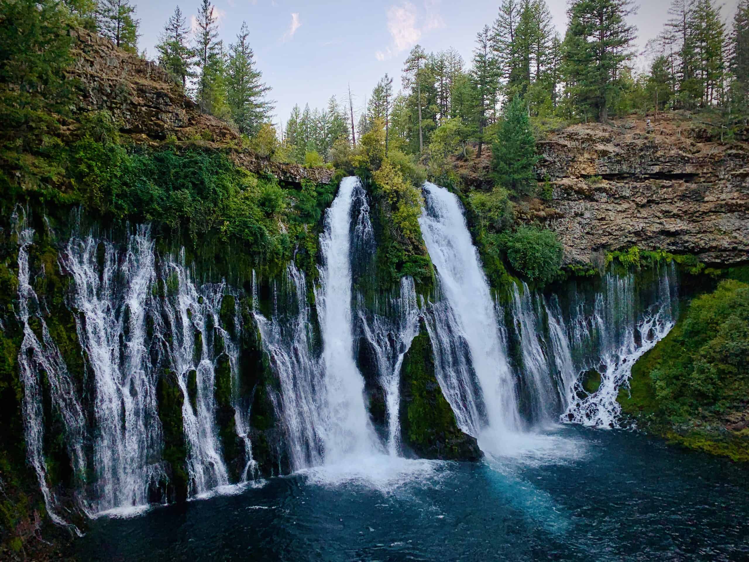
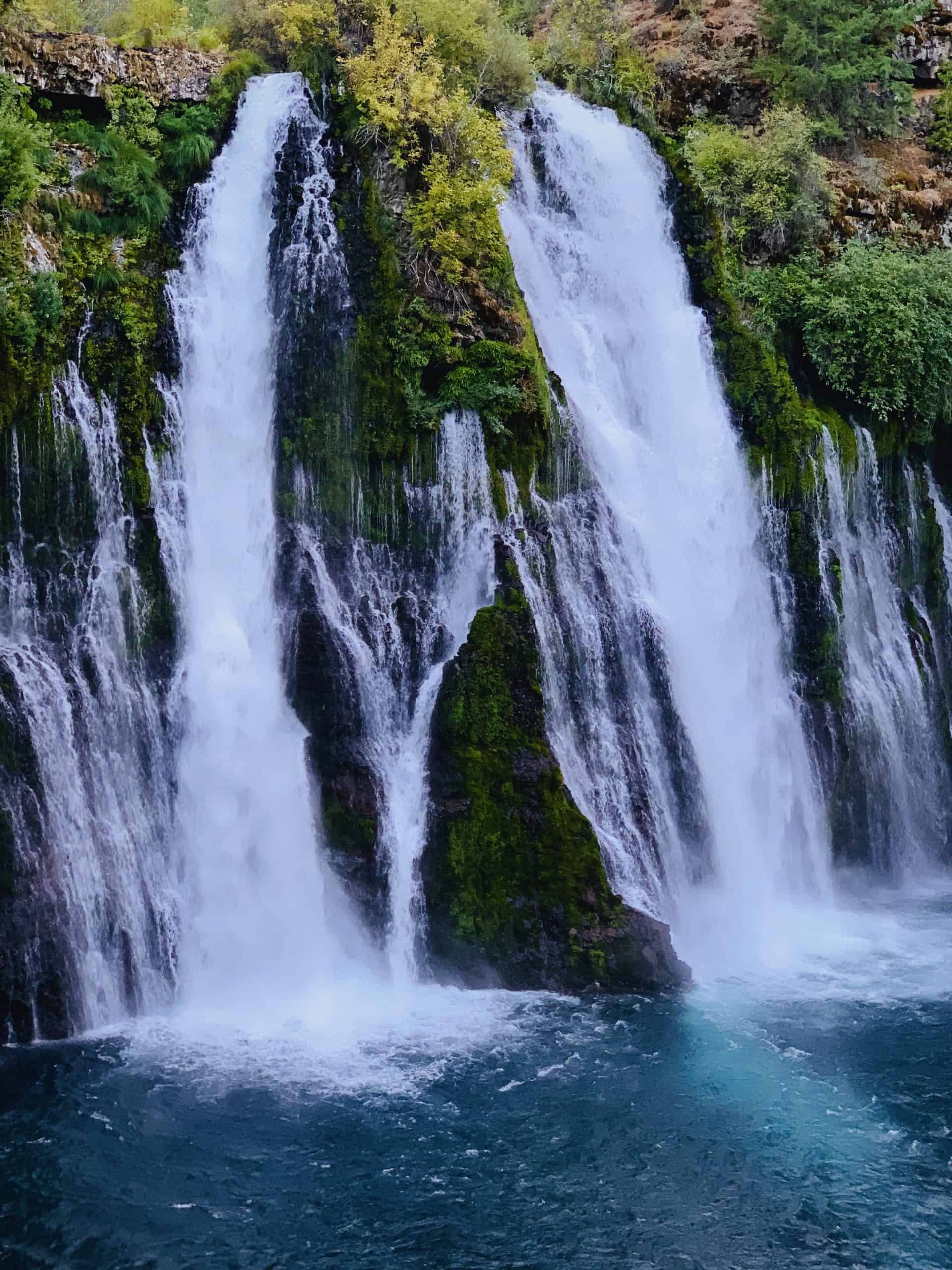
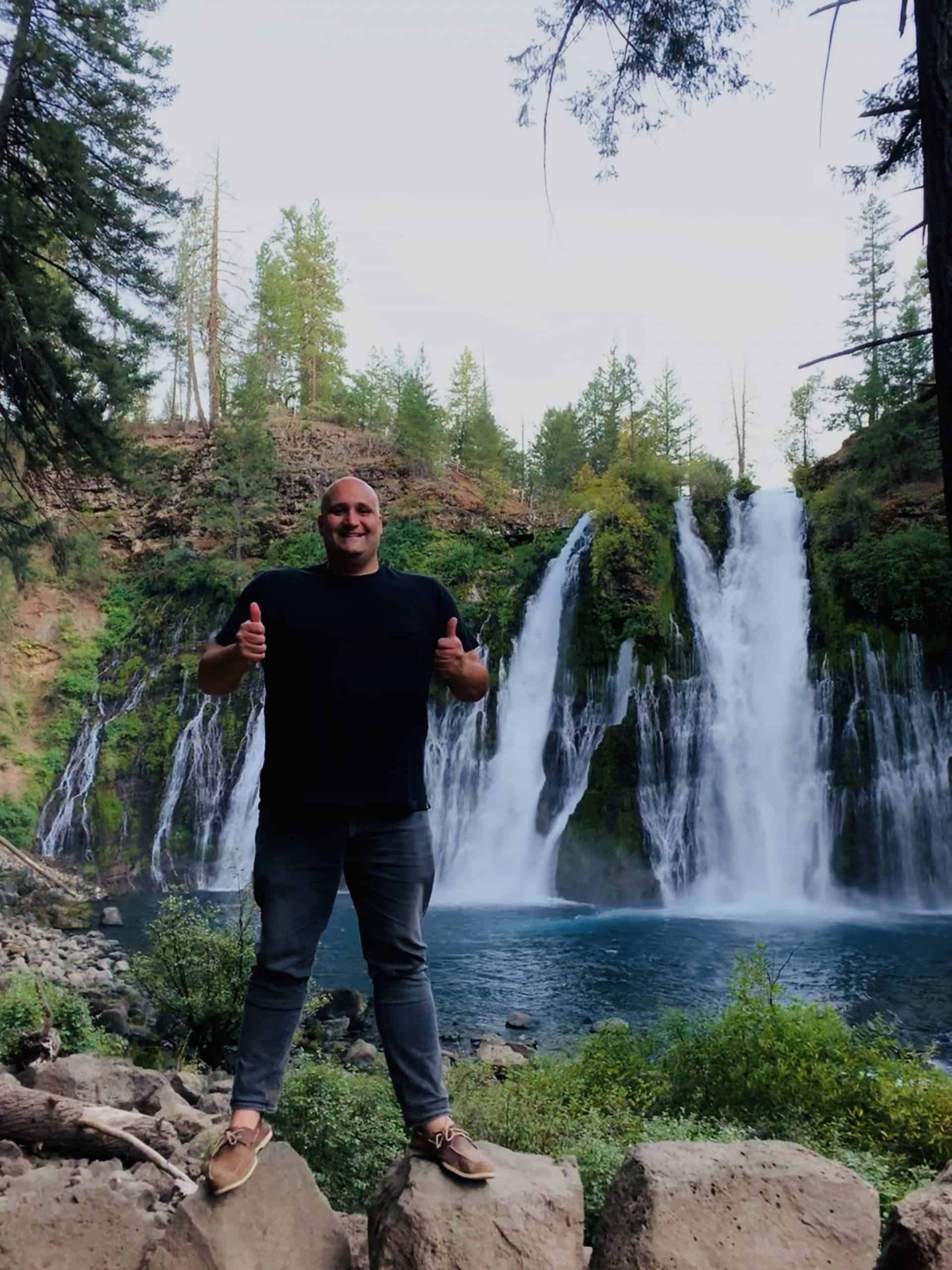
A breath-taking stroll to beautiful Burney Falls, a 129-foot tall and 250-foot wide spring-fed waterfall in Shasta County, CA.
Pointed to Burney Falls by the managers of a darling RV Park near Lassen Volcanic National Park, we decided to make a stop nearby to check it out for an evening.
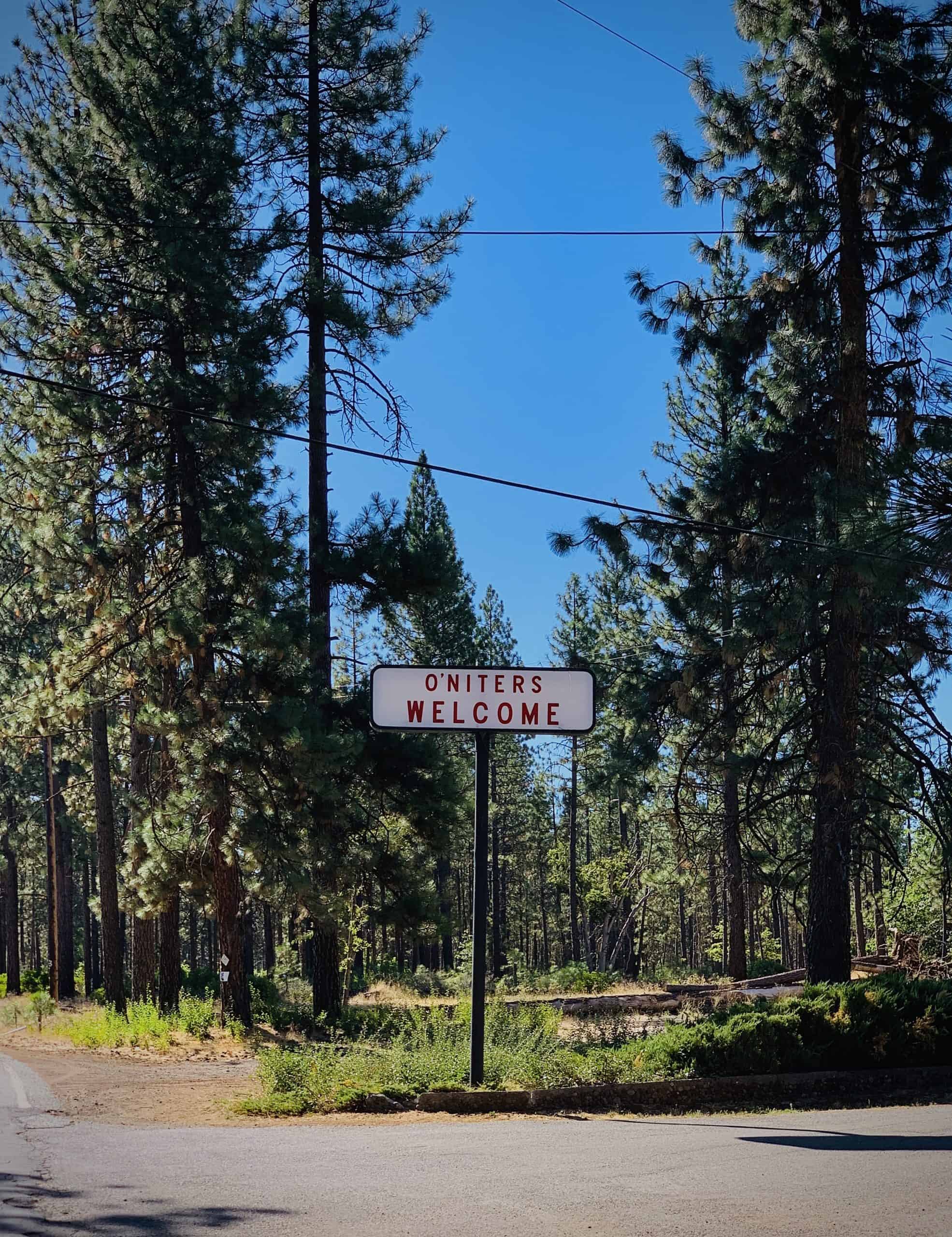
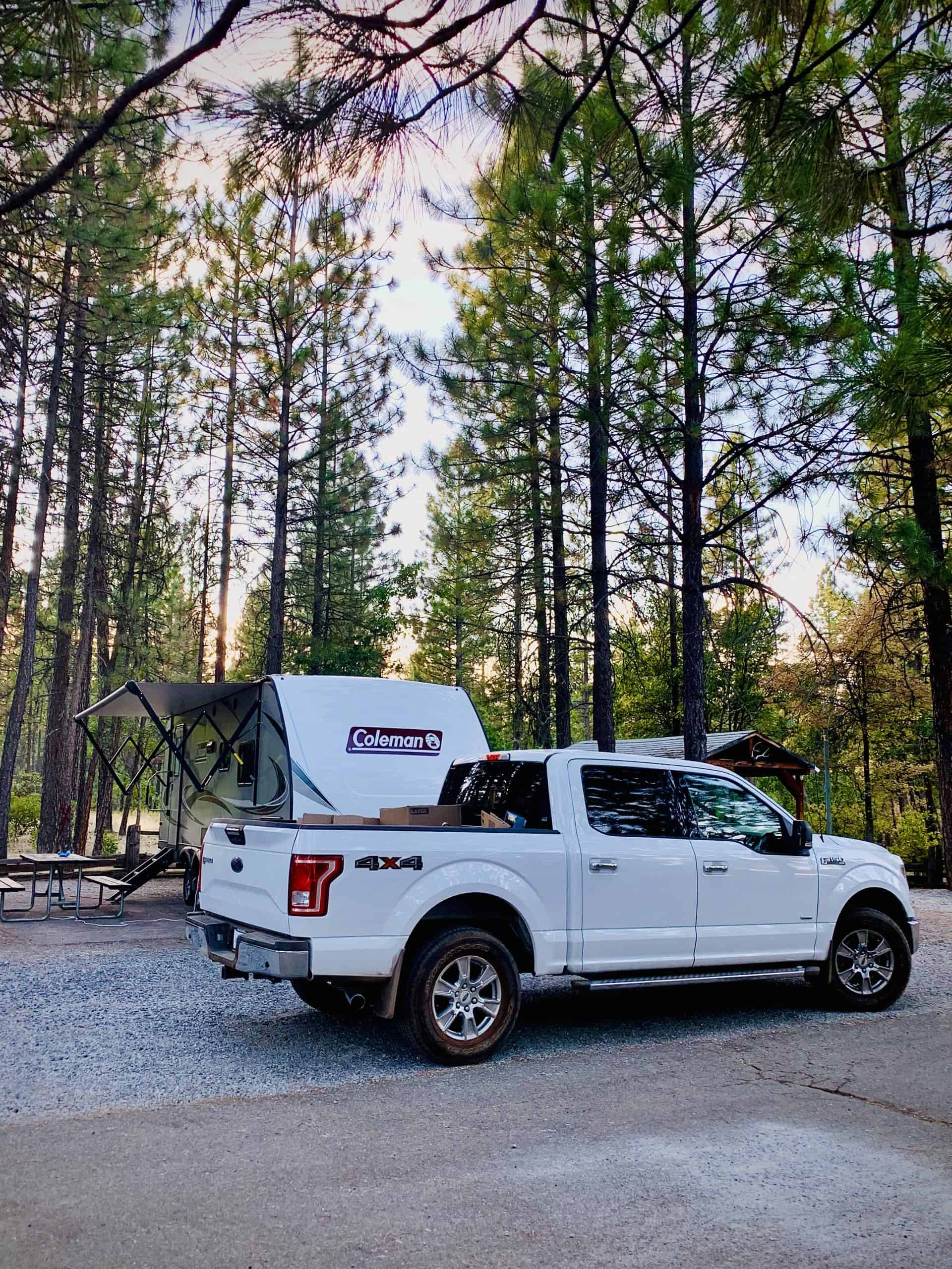
We stayed at a cute place called Burney Falls Resort RV Park, which was a 20 minute walk (the back way) or less than 5 minute drive to Burney Falls Memorial State Park.
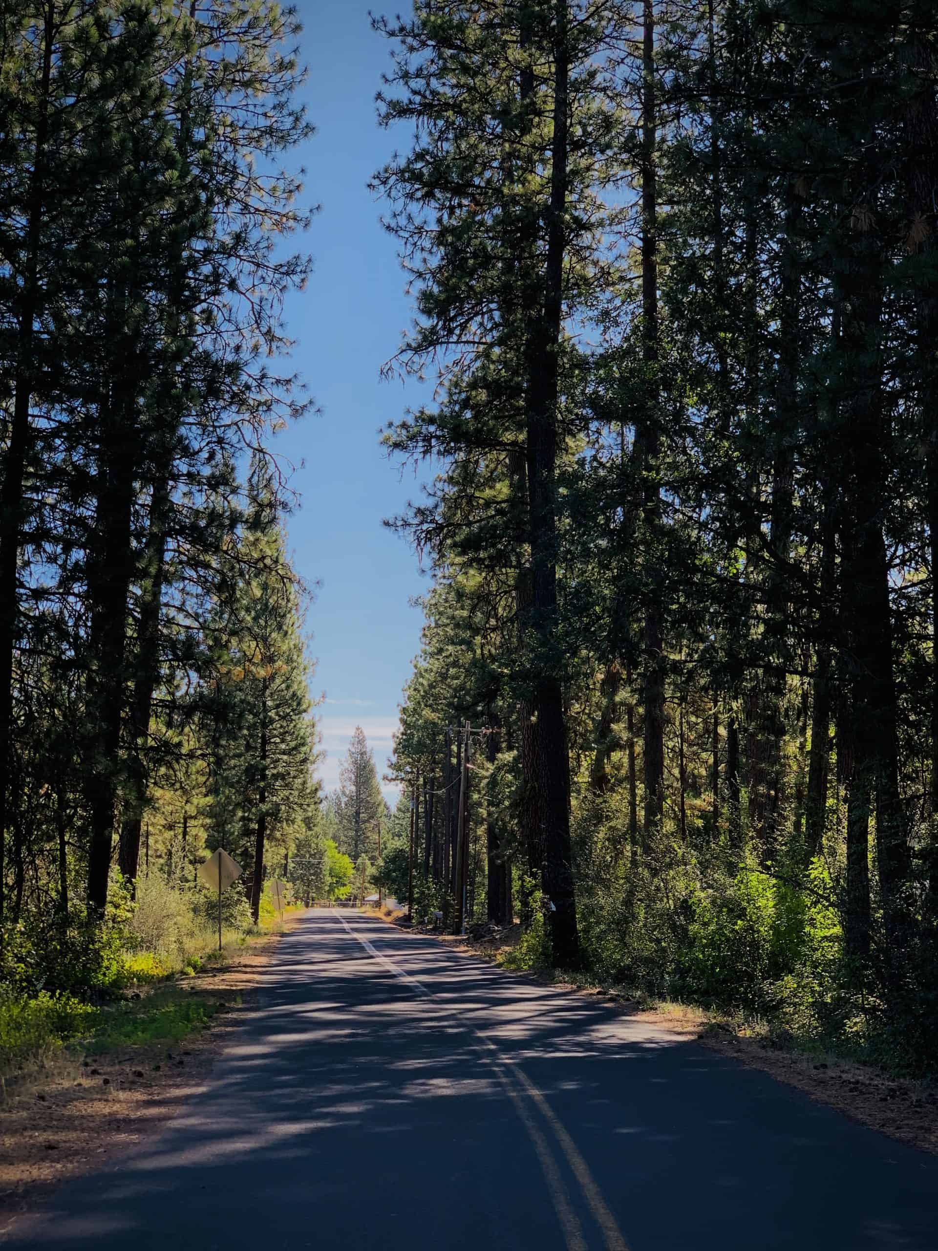
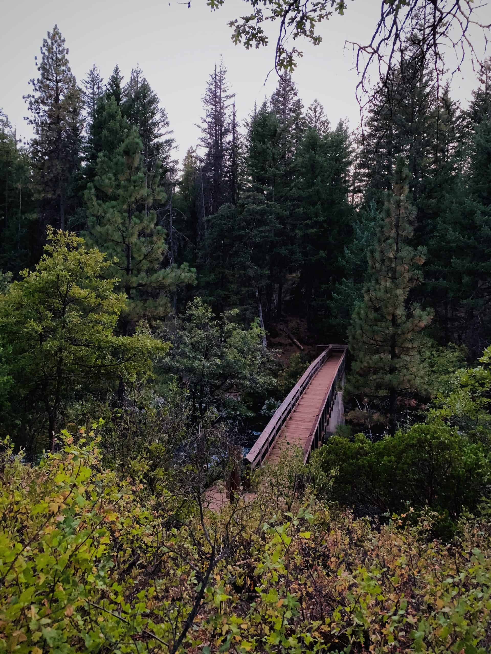
If you stay at the park, you can walk (or drive) along Clark Creek road to get to the park. There's only a few spots for parking along the road, but from there you get to walk across part of the Pacific Crest Trail before you get to a bridge over Burney Creek. The sign points in 2 directions, the southern points being Headwaters Camp (0.6 miles away), Burney Creek Footbridge (0.8 miles away), and Mexico (1,418 miles away). The only northern point is Canada (1,232 miles away)
If you stay at the park, you can walk (or drive) along Clark Creek road to get to the park. There's only a few spots for parking along the road, but from there you get to walk across part of the Pacific Crest Trail before you get to a bridge over Burney Creek. The sign points in 2 directions, the southern points being Headwaters Camp (0.6 miles away), Burney Creek Footbridge (0.8 miles away), and Mexico (1,418 miles away). The only northern point is Canada (1,232 miles away).

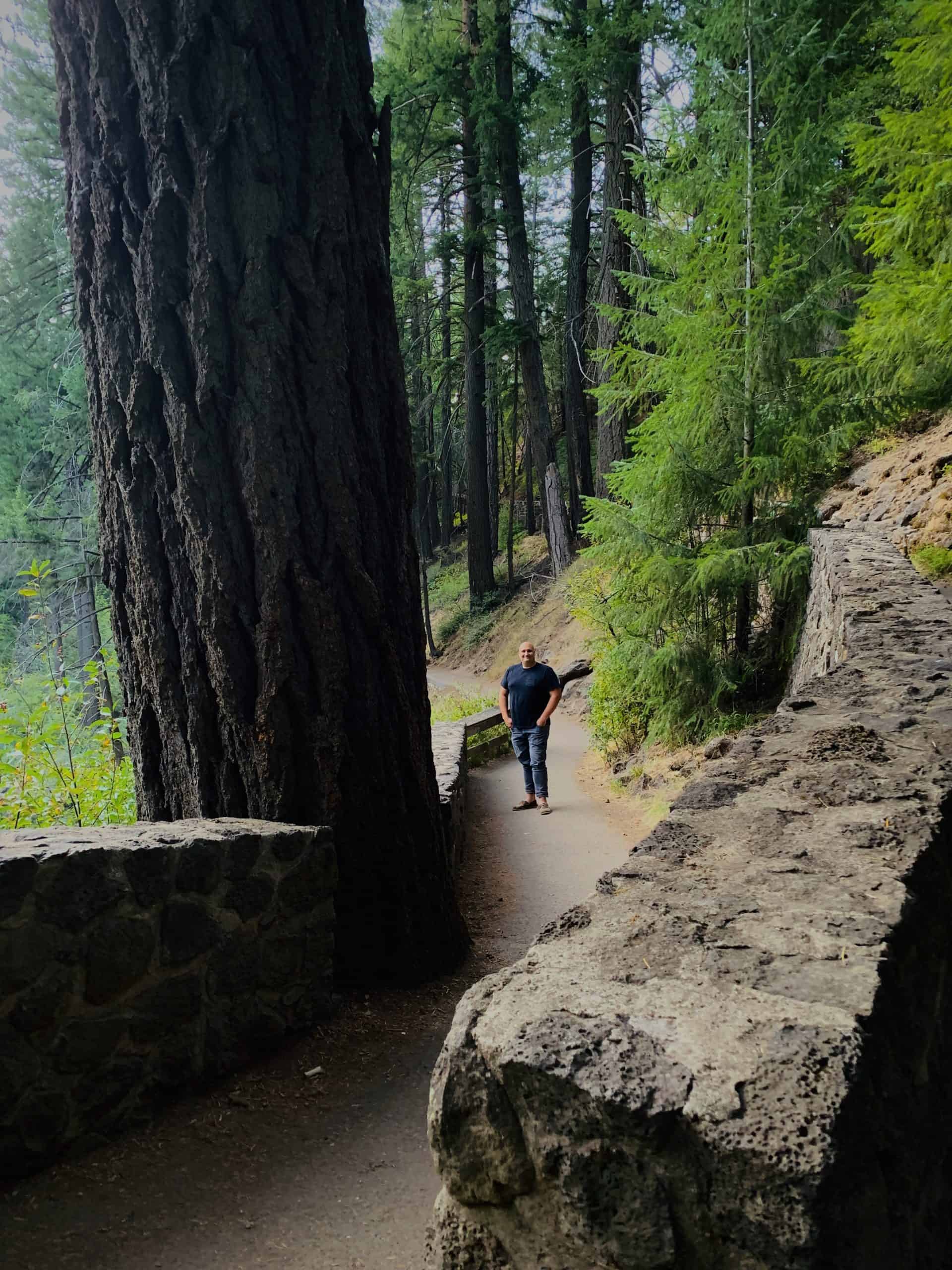
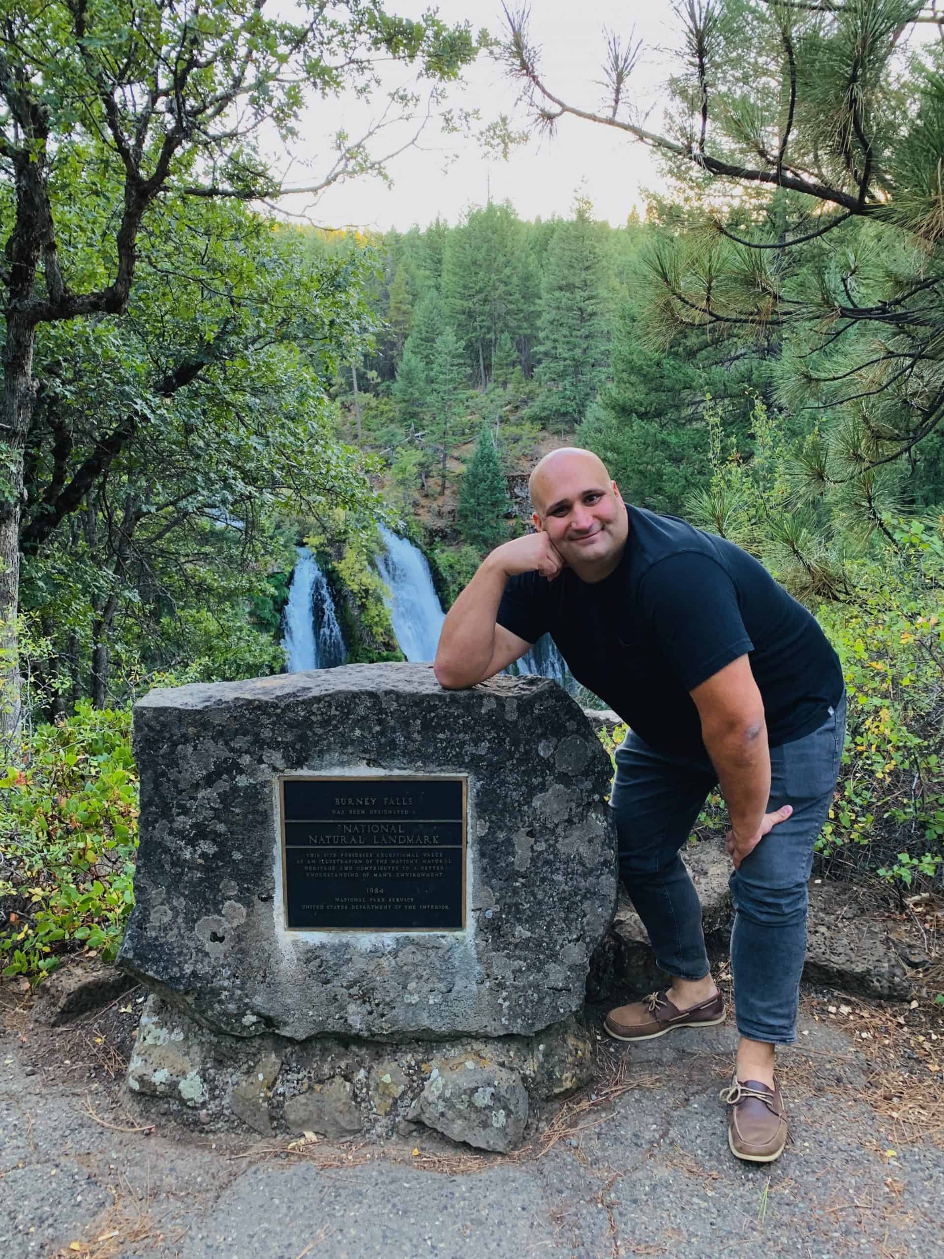
After crossing the Pacific Crest Trail and the Burney Creek Footbridge, there's a few signs and maps about the state park overall. Then, with the first views of Burney Falls is a plaque designating the falls as a national natural landmark, stating that this site "... possesses exceptional value as an illustration of the nation's natural heritage and contributes to a better understanding of man's environment."
The trail down to the foot of the falls is flanked with enormous pines, firs, and oaks. It was not too long before dusk, and we had the trail almost entirely to ourselves.
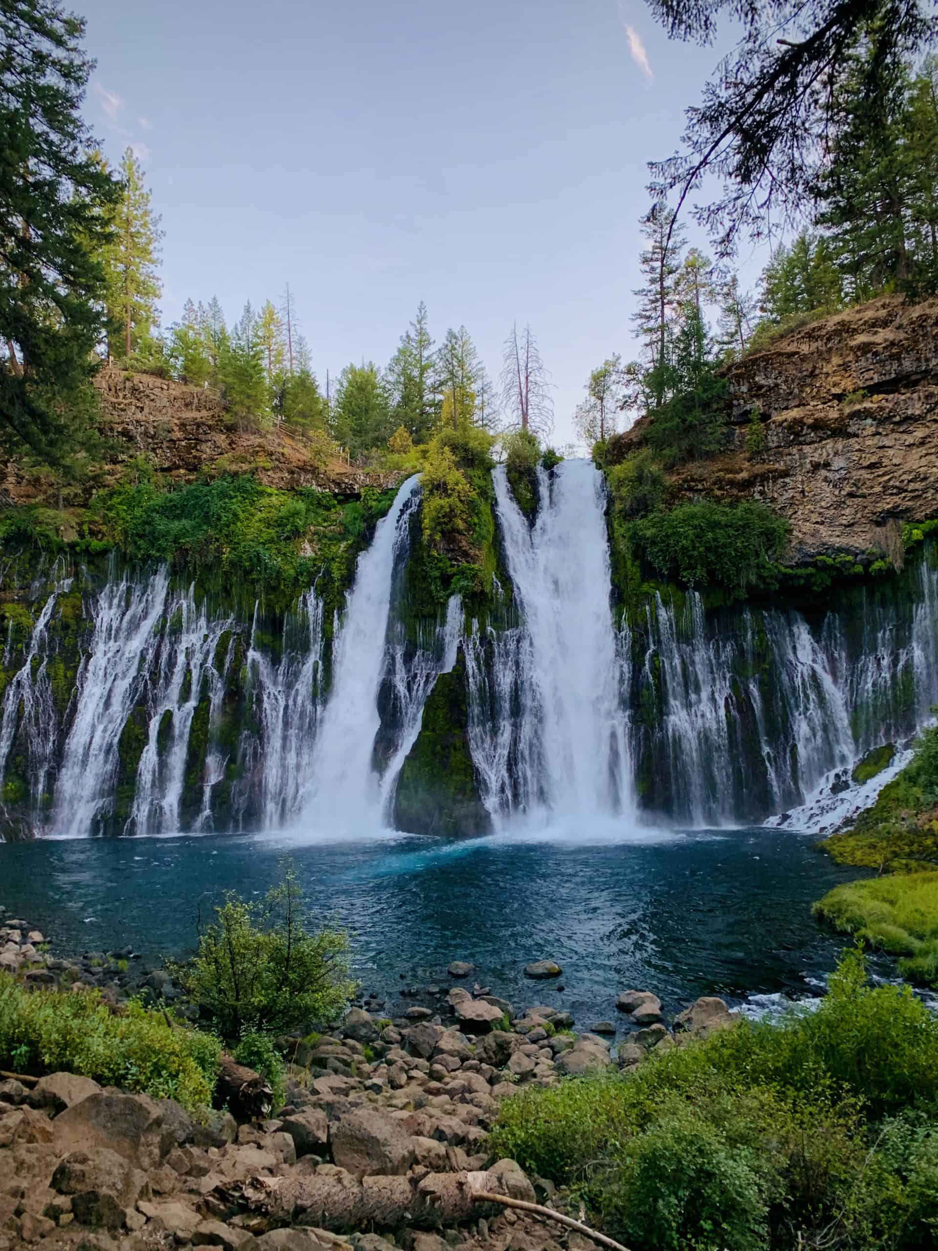
Looking at the falls, you see a few large sections of falls coming from a higher area than the rest—this water comes from Burney Creek. The water in the rest of the falls flows from within the rock itself.
If you're wondering where the water comes from, here's my layman's summary of a very interesting report by the California Parks Service, which I recommended you also read if you're into this sort of thing: The falls were created by repeated lava flows in the area 5.3 - 1.8 million years ago—leaving layers of basalt behind. Gases within the hot lava bubbled up and hardened, and molten lava flowed beneath the hardened rock creating channels inside. Eventually ALL the lava cooled and hardened, cracking as it contracted. Earthquakes created additional cracks in the rock. Rain and snow drained into creeks and rivers and soaked into the ground, into the rock, and eventually flowed through the passageways. Because of all of those processes, the springs at Burney Creek discharge around 100 million gallons of water per day.
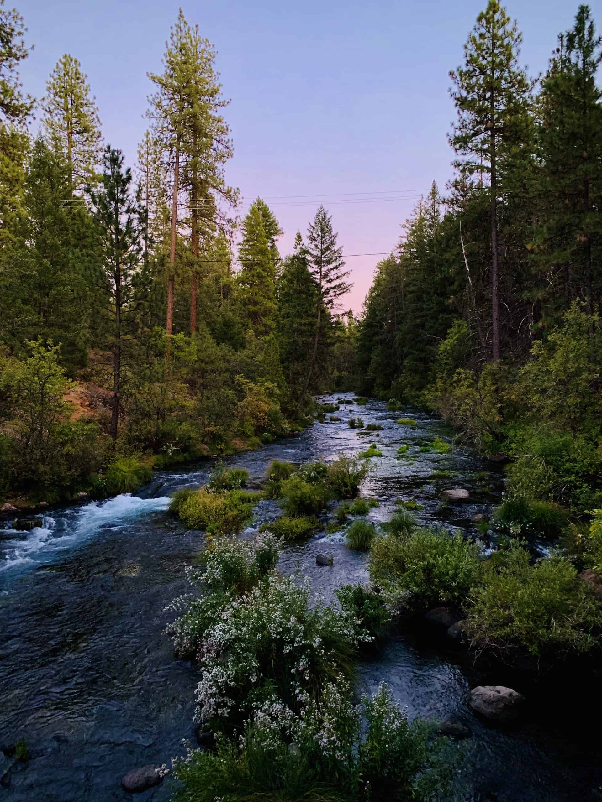
We headed home just before the sun was gone. The colors were perfection.
Explore more...

Crooked River RanchRV Park

Smith Rock State ParkState Park

Bend, OregonCities, National Forest
Diamond LakeNational Forest

Crater Lake National ParkNational Park

Lava Beds National MonumentNational Monument
Burney Falls State ParkState Park

Lassen Volcanic National ParkNational Park

Lassen National ForestNational Forest

The DecisionPersonal
Leaving San FranciscoPersonal