Smith Rock State Park
I spent a sunny day hiking through Smith Rock State Park, after many days of rain.
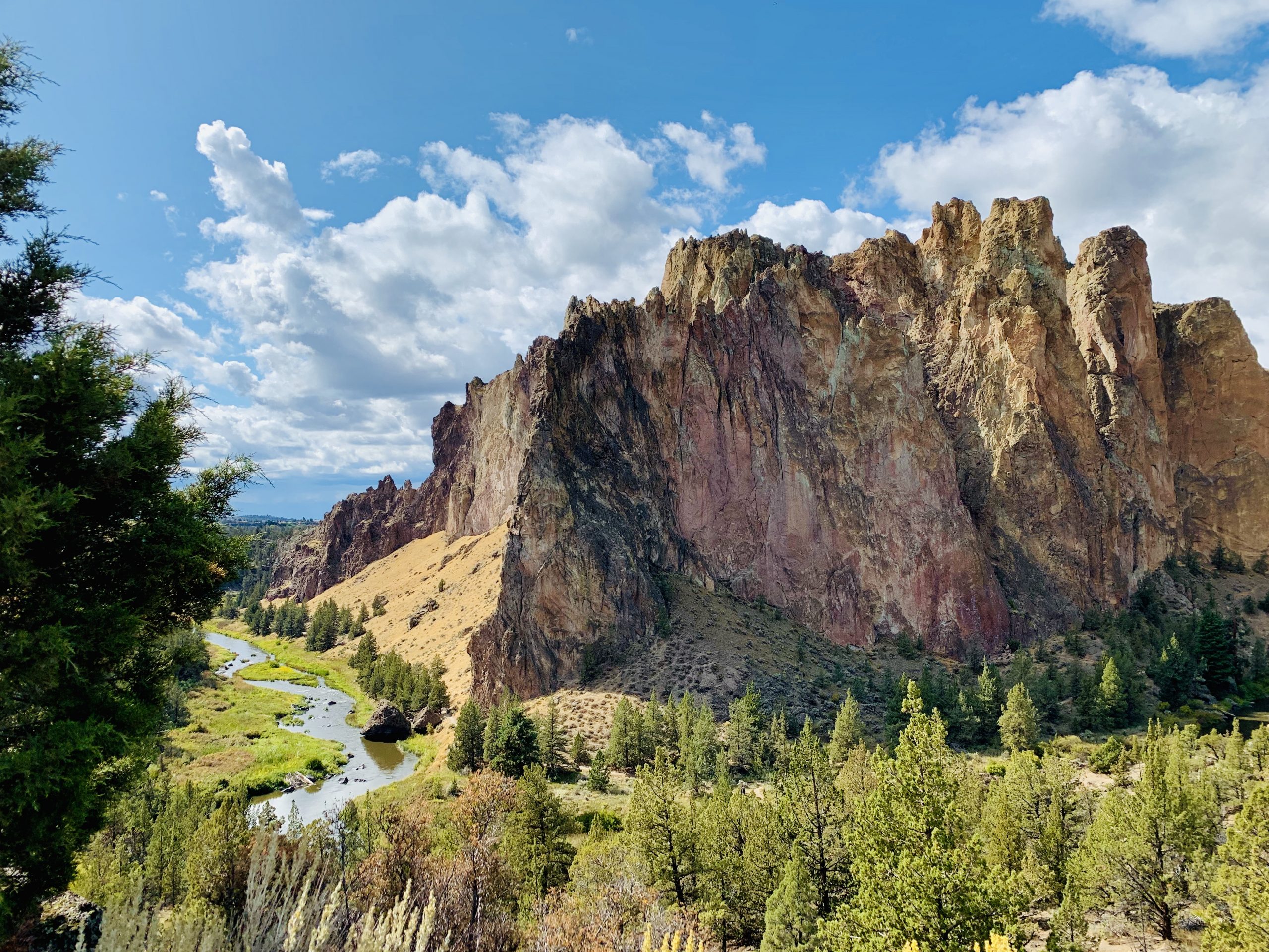
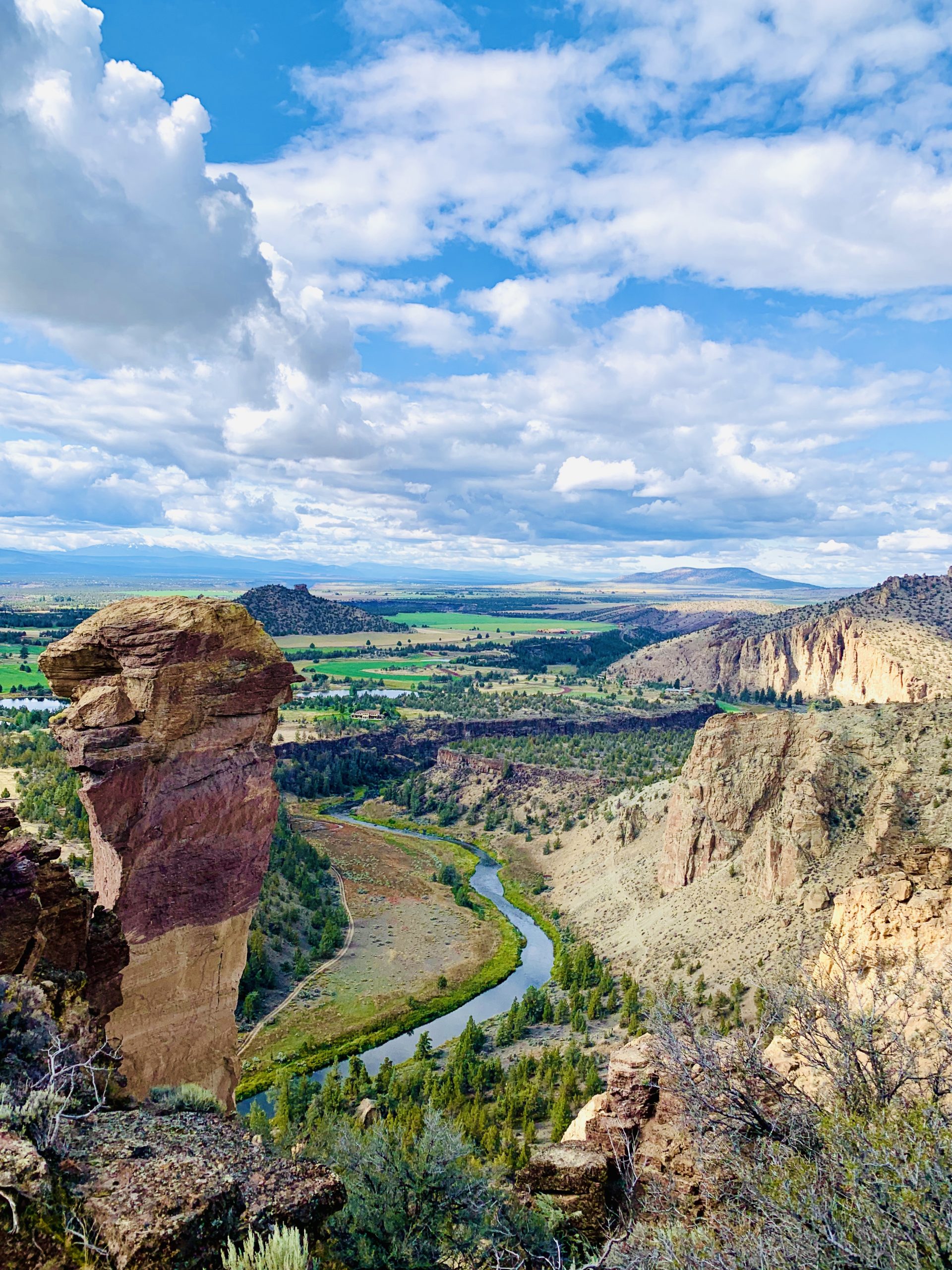
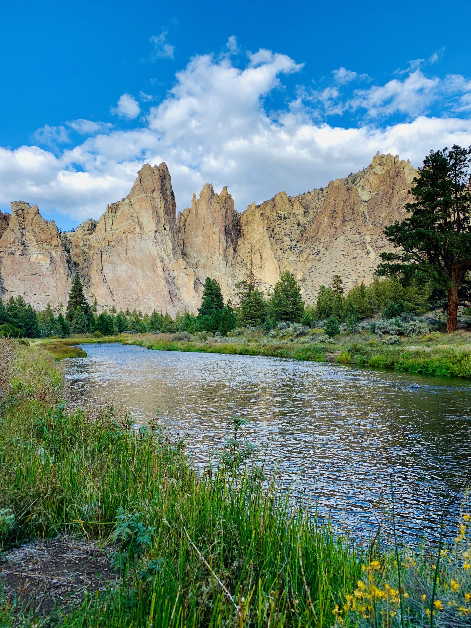
View of Picnic Lunch Wall and Crooked River.
I was thrilled to finally visit Smith Rock State Park. I've seen photos of climbers at Smith Rock State Park in magazines, read about it in books, followed Instagram accounts of organizations that hold group climbing classes.
Smith Rock State Park is about 45 minutes north of Bend, OR, and just south of where we stayed called Crooked River Ranch.
I'd scheduled a guide for my first jaunt in outdoor climbing, but cancelled due to thunderstorms. I was really disappointed, but you can't get around the weather with things like that. The following day had a forecast of showers, but happened to be partly sunny so I took the opportunity to at least go for a hike to check out the park.
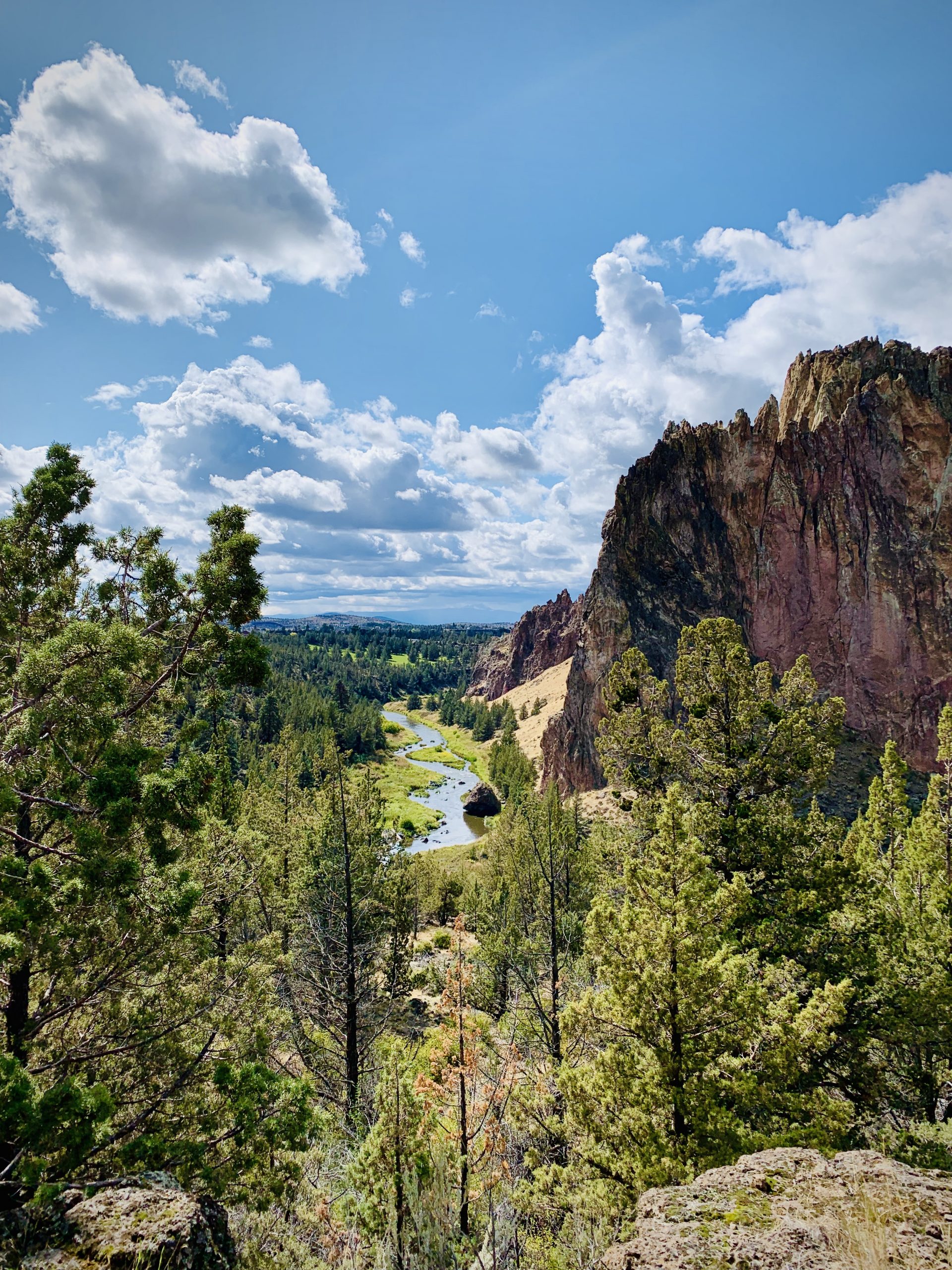
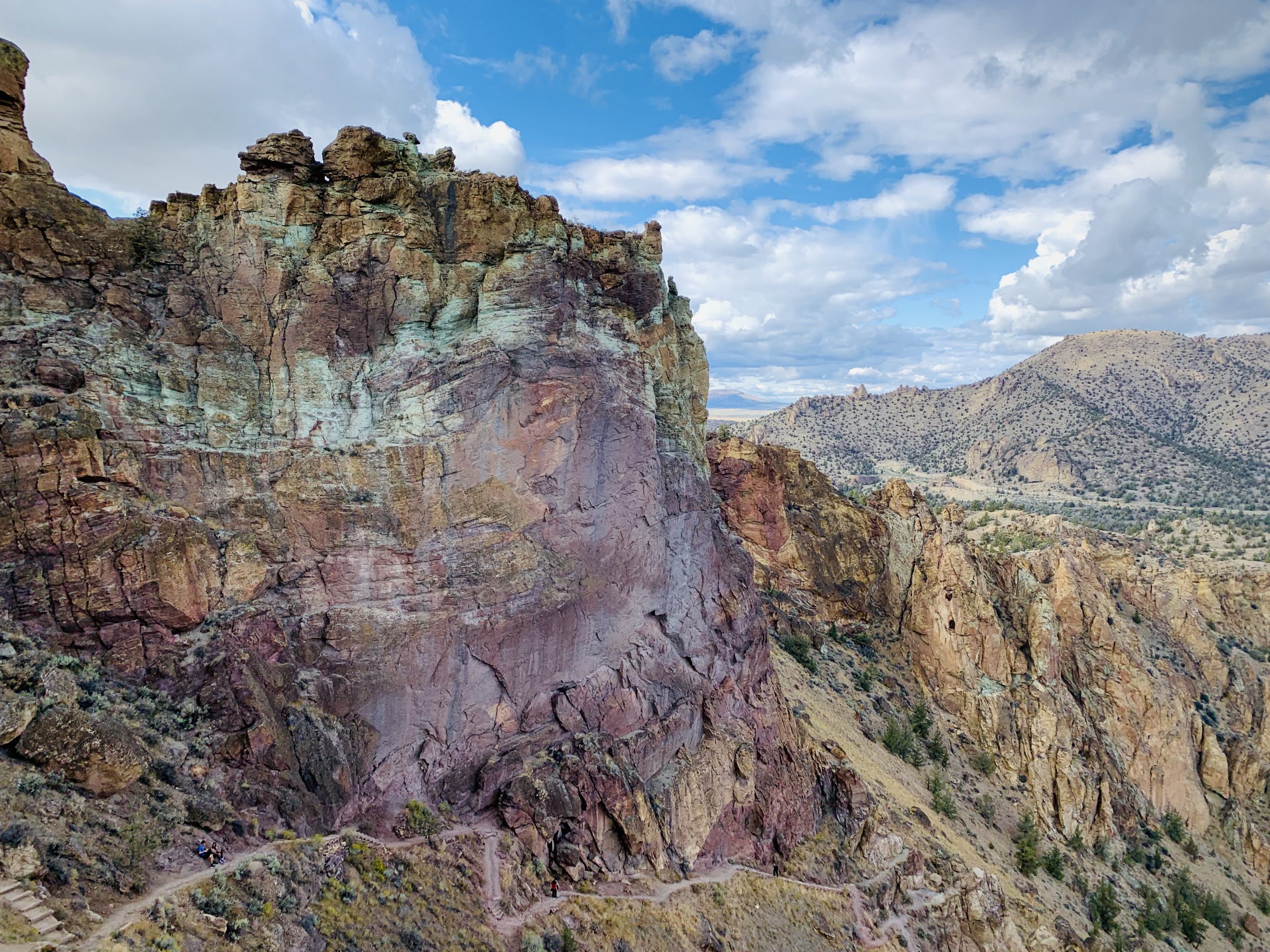
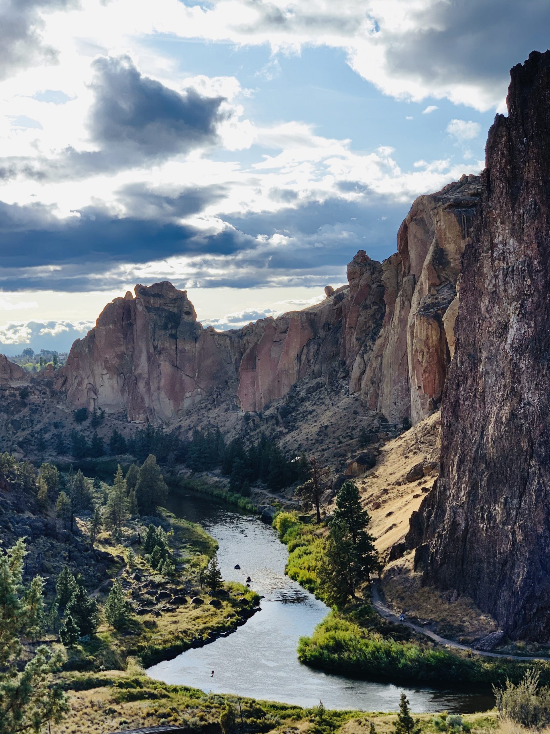
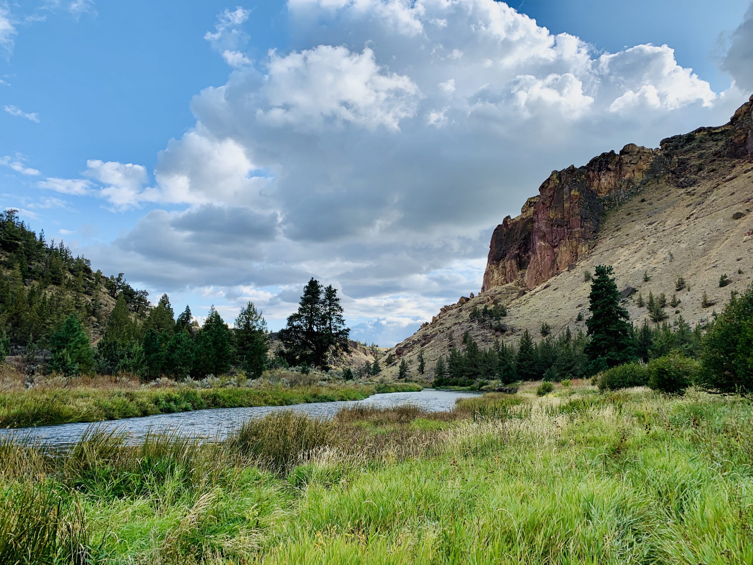
The beauty of Smith Rock State Park begins with its towering rocks, jutting out from just along a winding river. The trees, grasses, and reeds down below all compliment the sharp, jagged edges of the peaks rising into the sky.
The park covers over 650 acres, several thousands of climbing routes, and many miles of trails for hiking, horseback riding, and mountain biking.

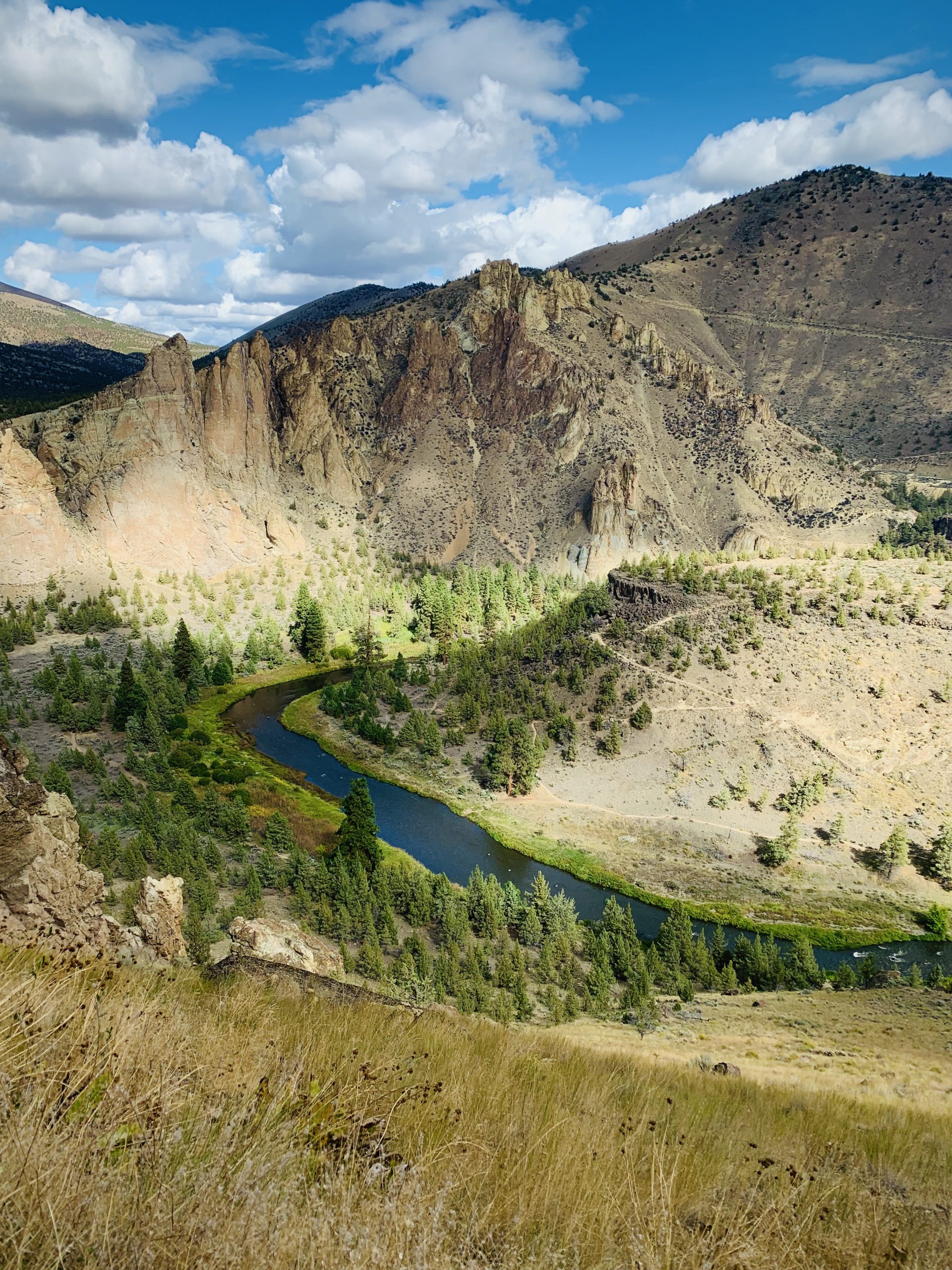

Misery Ridge Trail, marked as difficult on the Trail Map, was indeed trying. It has switchbacks in several places, and brings hikers from the base of the rock formation up to the top for panoramic views. If you're able, it's definitely worth the climb, as you can see the beautiful terrain of the park and the surrounding BLM land nearby as well.
The textures and colors of the rock and shrubs were beautiful, and I was lucky to not get rained on, but instead have clouds providing accents to the sky as well as patches of shade. There were many rock climbers on my way to this trail, but I only passed a few hikers coming down as I hiked up.
At the top, there's a ridge that is flat enough to walk onto. From there, you can see 180º around, find a great spot and sit and enjoy it.
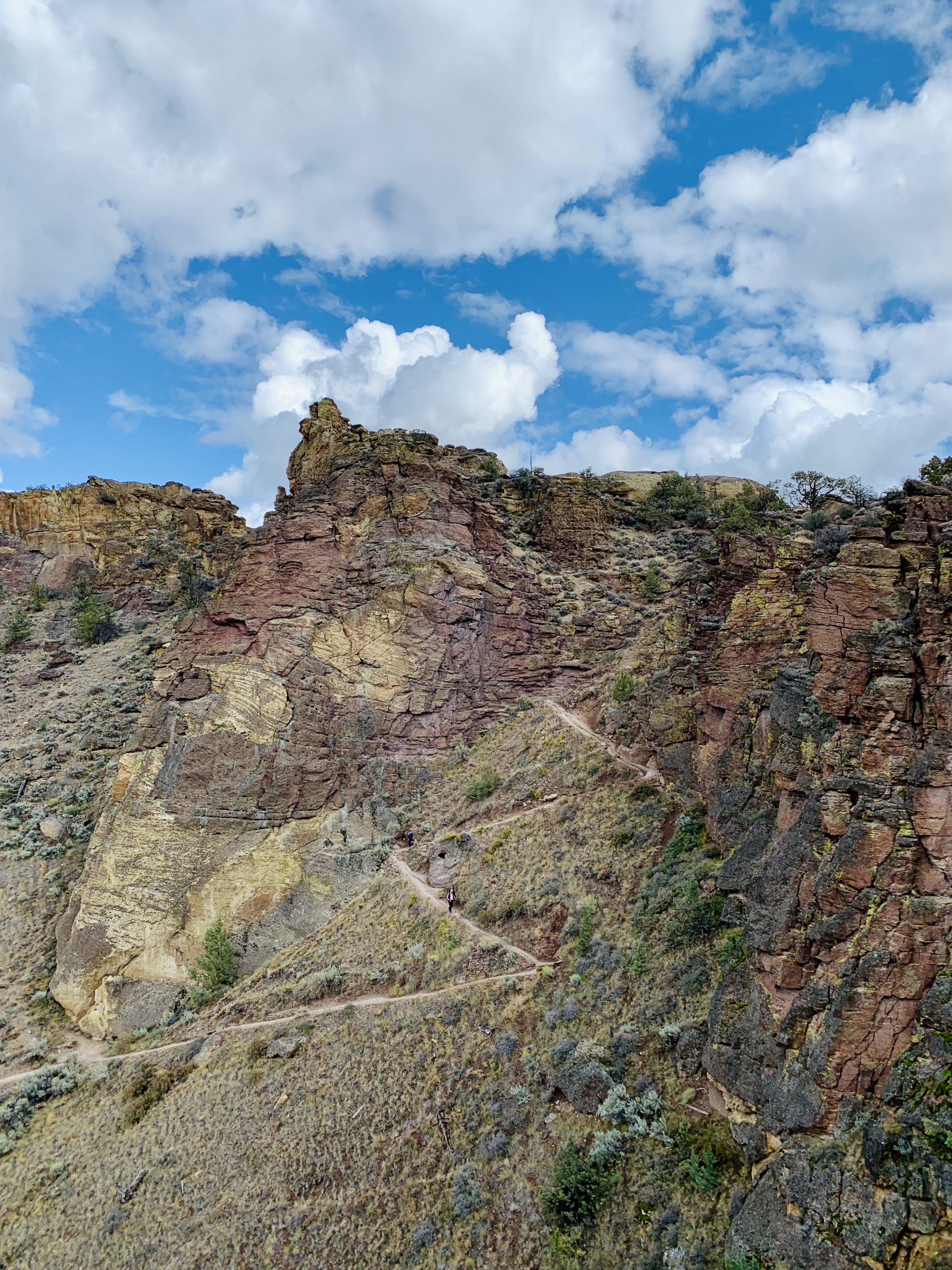
Can you spot the hikers on the trail?
Around the back of the Misery Ridge Trail is a truly breath-taking rock spire known as Monkey Face. Named so, because when viewed from a certain angle, it has a primate-looking face. There were climbers working up the side of the spire, and other hikers hiking to the edge of the ridge to get a closer look.


I hiked the rest of Misery Ridge, watching the climber on Monkey Face Rock, hoping he'd "send", or make it to the top of the route successfully, in climber's lingo.
The trail carried me down several switchbacks before it connecting with the Mesa Verde Trail.
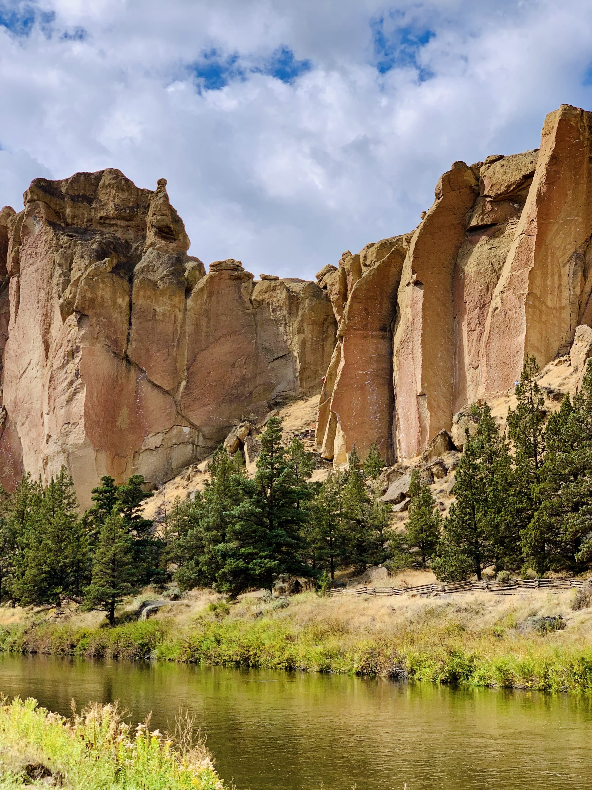
The Mesa Verde Trail connects with the River Trail, which follows along the Crooked River. I enjoyed the beautiful riparian habitat and the views of beautiful rocks. The trail took me past many more climbers, then looped back around toward the parking area of the park.

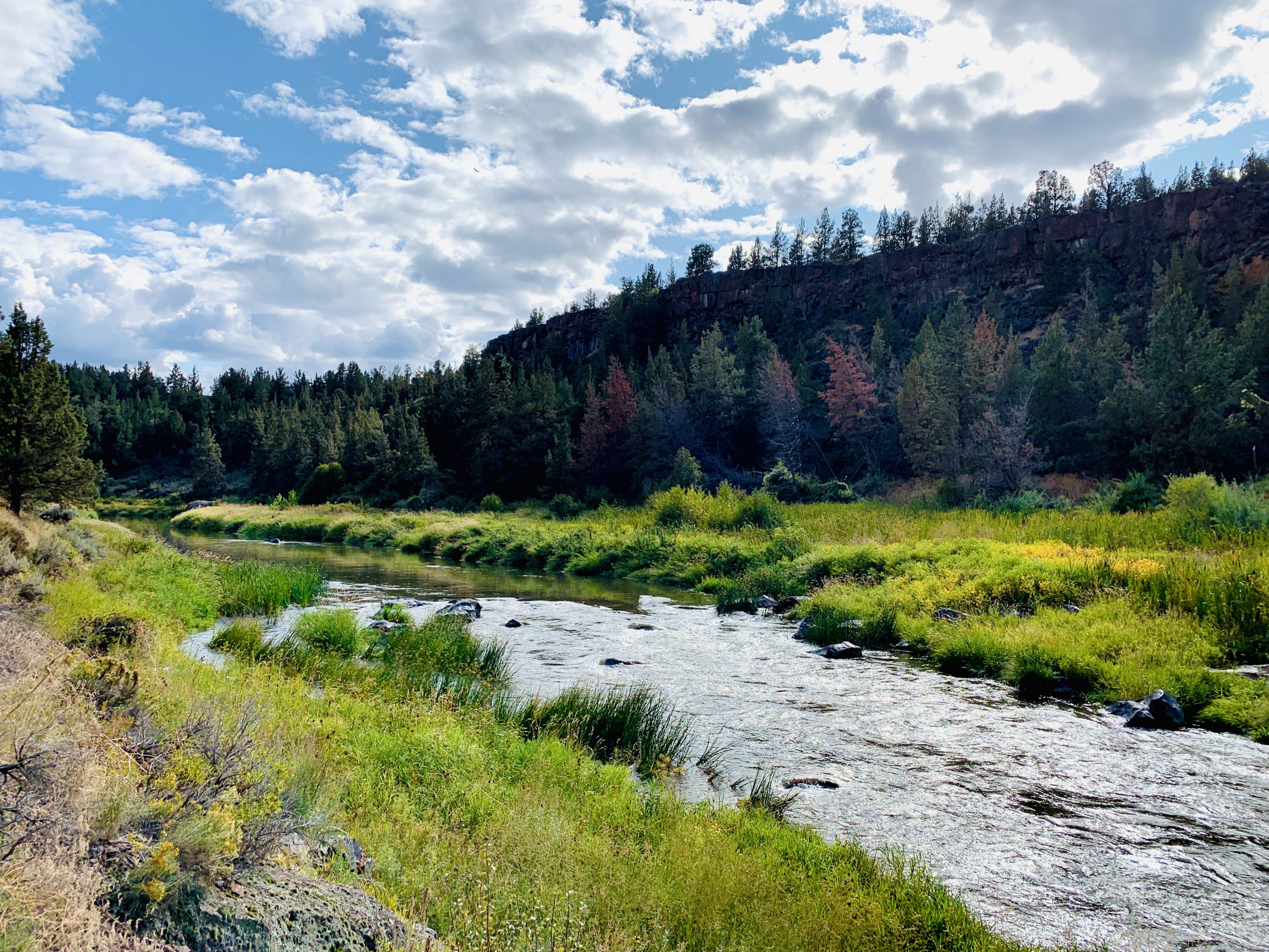
Views on the River Trail
While I wish I could have climbed here, I was happy to hike the area and get a feel for the place I've heard and read so much about. Hopefully I'll have a chance to climb here another time!
Explore more...

Crooked River RanchRV Park
Smith Rock State ParkState Park

Bend, OregonCities, National Forest
Diamond LakeNational Forest

Crater Lake National ParkNational Park

Lava Beds National MonumentNational Monument
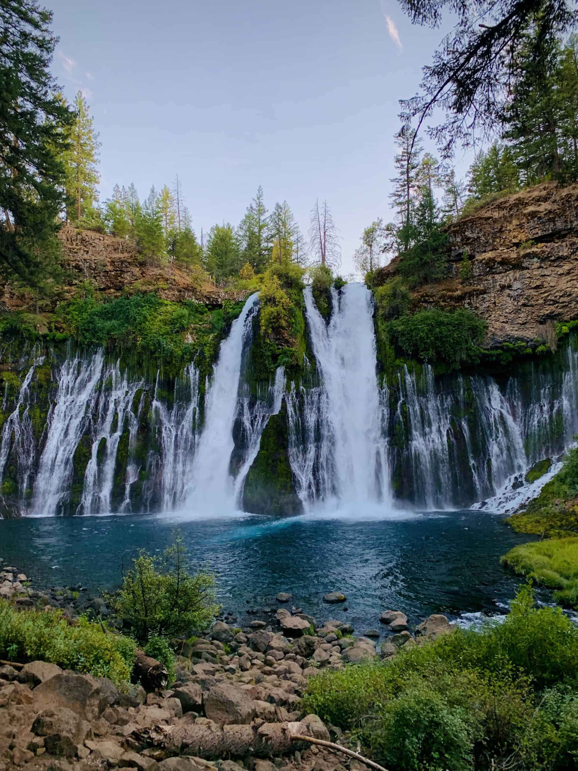
Burney Falls State ParkState Park

Lassen Volcanic National ParkNational Park

Lassen National ForestNational Forest

The DecisionPersonal

Leaving San FranciscoPersonal